
Survey & site visits · documentation
Drone, video and a written record
A site looks different in August than in February, and nobody remembers a slope correctly six weeks later. This produces a dated visual record you can put in front of a lawyer, a lender or a partner who was never there.
Figures dated 7 August 2026
01 — What this is
What survey documentation is and is not
A verifiable visual record of physical conditions on a given date. Not a valuation, not a survey in the legal sense, and not an engineering opinion.
What it replaces
Reliance on a sales narrative and on memory. Investors cut on-site time substantially because the record answers later questions without a second flight.
What it enables
Comparison between assets across islands on a consistent standard, and remote stakeholders assessing physical reality before anyone commits to transaction costs.
Where it stops
Legal, tax, valuation and engineering interpretation are handled by your own licensed advisers. Juara Production captures and reports; it does not opine.
The value is in the dating. Footage from the August peak shows traffic, neighbour activity and access conditions that a low-season visit simply does not contain — which is why a staged approach works: a survey now, a lighter update in twelve to twenty-four months.
What is in a package
- Aerial
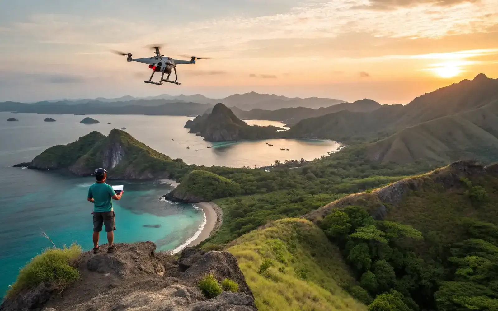
- Licensed drone flight at several heights — typically 30, 60 and 90 metres where airspace permits — showing slope, drainage lines, neighbouring land use, and proximity to access roads or shoreline
- Ground
- A gimbal-stabilised walkthrough: entrances, boundaries, notable trees and structures, utility poles, and the houses, schools or commercial sites next door
- Stills
- A curated set indexed by angle and location, so a specific claim can be cross-checked against a specific frame months later
- Report
- A short narrative summary of observations, with GPS-anchored reference points and basic annotations for navigating the material
- Waterfront
- Where the asset is coastal: mooring lines, approach channels, swell and reef behaviour during the visit window, plus onshore access, parking and neighbouring accommodation
- Formats
- MP4 in H.264 or H.265 for video, JPEG and RAW for stills, PDF or Word for the written summary. Delivered digitally, usable without special software
02 — How it runs
From brief to delivered files
Four stages. The first one is the only one that can save you money, and it is the one most often skipped.
-
01 Before booking
Airspace pre-screen
Drone use is regulated in Indonesia and restricted near airports, military areas, some cultural sites and certain marine protected zones. If a site is off-limits, that is known before a crew flies, not on the day.
-
02 1 – 3 days
Field window
Four to ten hours on site per asset depending on size and access. Larger tracts are split into multiple flight grids and separate ground walks.
-
03 On site
Capture
Forty to a hundred and twenty minutes of 4K footage and eighty to three hundred stills, all GPS-anchored so the material can be navigated by location afterwards.
-
04 5 – 15 working days
Edit and deliver
Five to ten working days for a single site; up to fifteen for a multi-location itinerary. Rush options exist outside the Bali and Komodo peak seasons.
Investors who cannot attend can send a representative to supervise, or the crew works directly with the landowner and broker. Files are delivered digitally and reviewed on a call with whichever advisers need to be in the room.
03 — Scope
The numbers behind an assignment
Standard coverage as of August 2026. Anything larger is quoted as multiple grids rather than stretched.
- Site coverage, standard Larger tracts are split into multiple flight grids and separate walks.
- 4 – 20 hectares
- Time on site, per asset Driven by size and by how hard the boundaries are to reach on foot.
- 4 – 10 hours
- Field window Across Bali, Lombok, Labuan Bajo and Komodo, Sumba or Raja Ampat, subject to permits and weather.
- 1 – 3 days
- 4K footage captured Aerial and ground combined, before editing.
- 40 – 120 minutes
- Indexed stills Filed by angle and location so a frame can be found from a question.
- 80 – 300
- Written summary Observations only. No valuation, no legal reading, no engineering conclusion.
- 3 – 8 pages
- Turnaround after fieldwork Single site at the short end, multi-location itinerary at the long.
- 5 – 15 working days
Juara Production is the media arm of the Juara Holding Group network. This platform is independent and not affiliated with any official Bali International Financial Center or KEK authority, and cannot offer regulatory predictions or tax advice — the work here is physical documentation.
Why document a site professionally?
It creates a verifiable visual record that can be shared with lawyers, tax advisers, lenders and family stakeholders. It reduces reliance on the sales narrative and on memory, supports comparison between assets across islands, and lets remote decision-makers assess physical reality before committing to transaction costs.
Is drone filming allowed everywhere?
No. Drone use in Indonesia is regulated, and filming is restricted near airports, military areas, some cultural sites and certain marine protected zones. Additional permits or local approvals may be needed. Every assignment is pre-screened for airspace and local rules, and where an area is off-limits the crew works from the ground instead.
What exactly is delivered?
Licensed drone footage, a ground walkthrough video, a curated indexed still set, and a concise written summary of observations, with GPS tagging and basic annotations. Any legal, tax, valuation or engineering opinion on top of that comes from your own licensed advisers.
How fast is the edited output?
Most single-site assignments deliver within five to ten working days after fieldwork. Multi-location itineraries can take up to fifteen. Rush options are sometimes available outside the Bali and Komodo peak seasons, subject to the production schedule.
Can I order documentation without travelling?
Yes, and many clients do. A local representative or assistant can attend on your behalf, or the crew works directly with landowners and brokers. Files are delivered digitally and can be reviewed on a call with legal, banking or structuring teams in other jurisdictions.
Send the coordinates, get a coverage plan
Give us the location and roughly what you are trying to establish. You will get an airspace pre-screen, a coverage plan, and an honest answer if a drone cannot legally fly there — before anyone books a crew.